Bacalar Chico National Park
Bacalar Chico National Park
North of Ambergris Caye, Bacalar Chico National Park combines a UNESCO marine reserve, Maya ruins and snorkeling at Rocky Point, accessible from San Pedro.
The Bacalar Chico National Park occupies the northern tip of Ambergris Caye, at the maritime border between Belize and Mexico. This protected area of approximately 60 km² combines a marine reserve and terrestrial reserve, and is part of the Belize barrier reef reserve system, designated as a UNESCO World Heritage Site in 1996. Accessible only by boat from San Pedro, the site remains relatively undiscovered due to its isolation.
Why visit Bacalar Chico
- An uncrowded UNESCO site: integrated into the Belize barrier reef reserve system, designated in 1996 alongside six other protected areas.
- A dual reserve: tropical forest, mangroves and lagoons on the terrestrial side; coral, seagrass beds and dive zones on the marine side.
- Rocky Point: presented as the only point in Belize where the barrier reef meets the land directly, a rare occurrence throughout the Caribbean.
- Maya heritage: the park contains ruins that remain largely unstudied, remnants of an ancient trading post between the Yucatán and Belize.
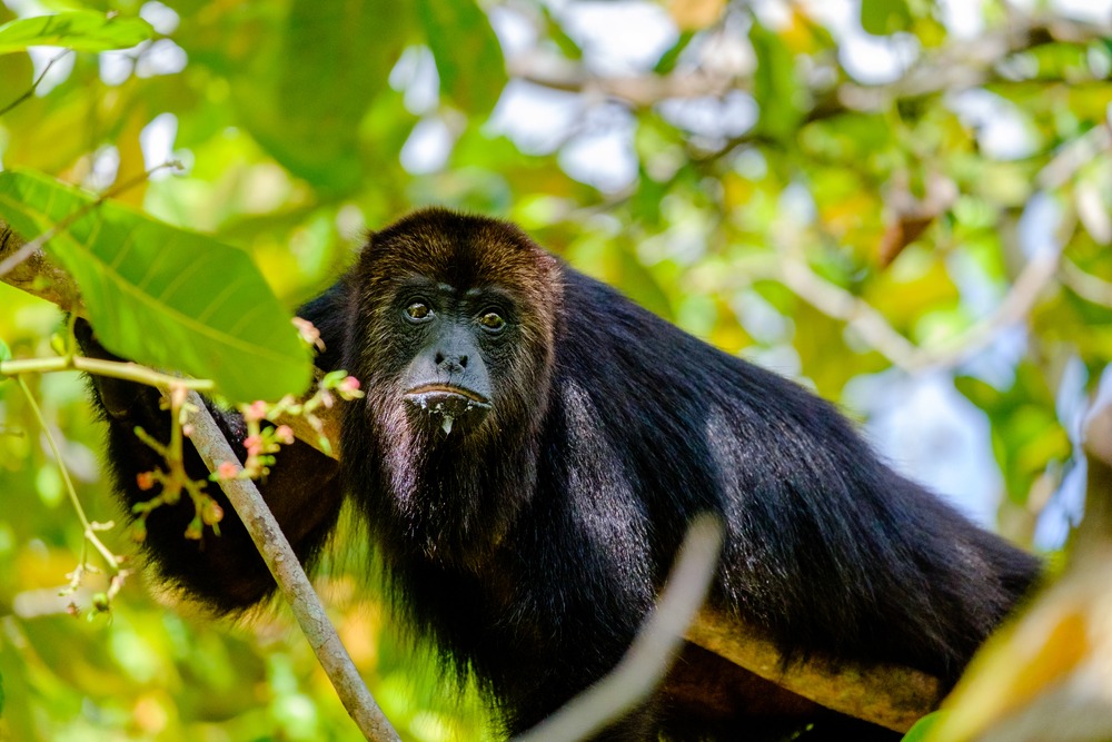
- Marine fauna: sea turtles and manatees can be observed depending on the season.
History of the park
Before the creation of the protected area, the Bacalar Chico channel served as a Maya trading post linking the Mexican Yucatán to Belize. The ruins scattered throughout the terrestrial reserve, still largely unexplored, testify to this pre-Columbian exchange activity.
The Bacalar Chico Marine and Wildlife Reserve was established in 1996. Its management is shared by the Belize departments of fisheries and forests. The same year, the park was inscribed on the UNESCO World Heritage List as part of the Belize barrier reef reserve system, which comprises seven protected areas.
What to see and do
The terrestrial reserve
Several trails cross the tropical forest of northern Ambergris Caye and lead to the Maya ruins of the former trading post. Near the San Juan forestry station, a small museum presents the history and ecology of the site, as well as ongoing archaeological research.
The marine reserve
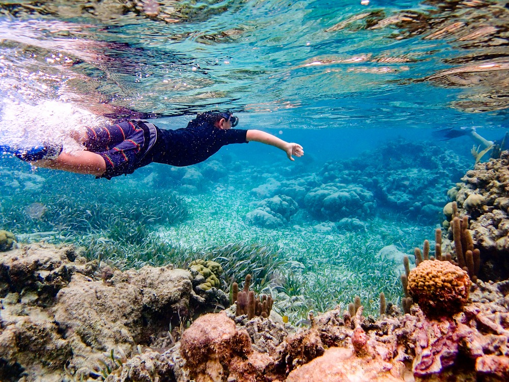
The majority of excursions focus on the marine section. Boats stop at identified sites for snorkeling and scuba diving:
- Mexico Rocks: shallow coral formations, ideal for snorkeling and observing tropical fish.
- Rocky Point: area where the reef meets the shore, accessible in calm conditions.
- Lagoons and seagrass beds: preferred habitats for manatees and green sea turtles.
Practical information
- Mandatory registration at the San Juan forestry station before any visit.
- Entrance fee to be paid on site; moderate rates, confirm with San Pedro operators.
- What to bring: swimwear, towel, reef-safe sunscreen (without oxybenzone), insect repellent, water, closed-toe shoes for the terrestrial section.
- Duration: plan for a full day, boat transfer included.
- Level: accessible for beginner swimmers for snorkeling; scuba diving with a certified operator.
When to go
The dry season, from late November to May, offers the best conditions: calm seas, good underwater visibility and guaranteed boat access. From June to November, the rainy season and hurricane risk may result in excursion cancellations. The months of February to April are often considered the most stable for diving.
How to get there
The park is reached exclusively by sea from San Pedro, the main town on Ambergris Caye, located at the southern tip of the island. The crossing to the San Juan station takes approximately one hour depending on conditions. Almost all visitors go through a licensed operator, who handles transport, registration at the forestry station, snorkeling equipment and a naturalist guide.
To reach San Pedro from Belize City, you have two options: a domestic flight of about twenty minutes or a fast ferry in approximately 1.5 hours.
About Ambergris Caye
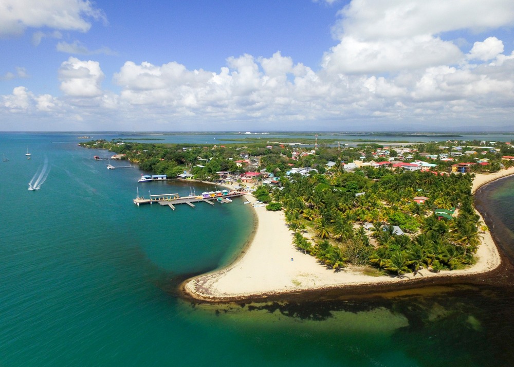
Ambergris Caye is Belize's largest island, approximately 40 km long. Its name comes from ambergris that was once found washed ashore on its beaches. The town of San Pedro, to the south, serves as the gateway for most of the region's water activities, while the northern section, where Bacalar Chico is located, remains largely unspoiled. The barrier reef that runs along the coast is the second longest in the world after that of Queensland, Australia.
Things to combine in the region
Belize contains many natural and archaeological sites accessible from Ambergris Caye or as an extension of your stay:
- The Maya ruins of Caracol, the country's largest archaeological site.
- The Mountain Pine Ridge Forest Reserve, for its waterfalls and caves.
- The site of Nim Li Punit, known for its carved stelae.
- The Agua Caliente Nature Reserve, a wetland rich in birdlife.
Frequently asked questions
Frequently asked questions
Plan your trip
Bacalar Chico fits naturally into a stay combining Caribbean coast and Maya heartland. To build your Belize itinerary with our advisors, explore our custom travel packages in Belize.
Interested in this visit?
We can include it in your personalised itinerary.