Maya Mountains
The Maya Mountains form the wild heart of inland Belize: primary forests, caves adorned with Maya remnants, navigable rivers and indigenous communities within Cayo District.
The Maya Mountains form the backbone of inland Belize, extending across Cayo District into Toledo. This granite and limestone massif harbors the country's densest tropical rainforests, navigable rivers, and several Maya archaeological sites buried beneath the vegetation. Here, wild Belize reveals itself in all its density: wildlife, caves, ruins and Q'eqchi' and Mopan communities coexist within the same territory.
What to See
The massif covers a large portion of southwestern Belize. The primary forests shelter jaguars, tapirs, toucans and parrots. The Macal and Mopan rivers originate in these highlands. Several caves adorned with Maya remnants — including Actun Tunichil Muknal — open into the limestone. The villages of San Antonio and San José offer a glimpse into still-living indigenous cultures.
History and Context
The Maya Mountains served as a refuge for Maya populations following the decline of the great classical cities. The Q'eqchi' and Mopan peoples settled here permanently, fleeing colonial persecution in Guatemala during the 18th and 19th centuries. The massif long constituted a natural frontier difficult to cross, which preserved both its forests and its communities.
Highlights of a Visit
Actun Tunichil Muknal (ATM)
This cave accessible from Teakettle Village is one of the most striking Maya archaeological sites in Belize. Access is by swimming, then on foot through darkness, to discover skeletons and ritual ceramics in place for over a thousand years. Visits are guided and reserved for organized groups.
Chiquibul Natural Reserve
The Chiquibul forest, in the heart of the Maya Mountains, is Belize's largest protected zone. It harbors the Chiquibul cave system, one of Central America's longest. Access is challenging and requires advance organization with a local guide.
Rivers and Canoeing
The Macal and Mopan rivers offer canoe descents from San Ignacio. The current winds through dense riparian forests, with possible stops near ruins like Cahal Pech.
Photography Tips
Light in tropical rainforest is diffuse and changing. Early morning mist on ridgelines offers particular atmospheres. For wildlife, patience and silence are essential. At ATM, photography is now prohibited to protect the remains — verify rules in effect before your visit.
Location and Access
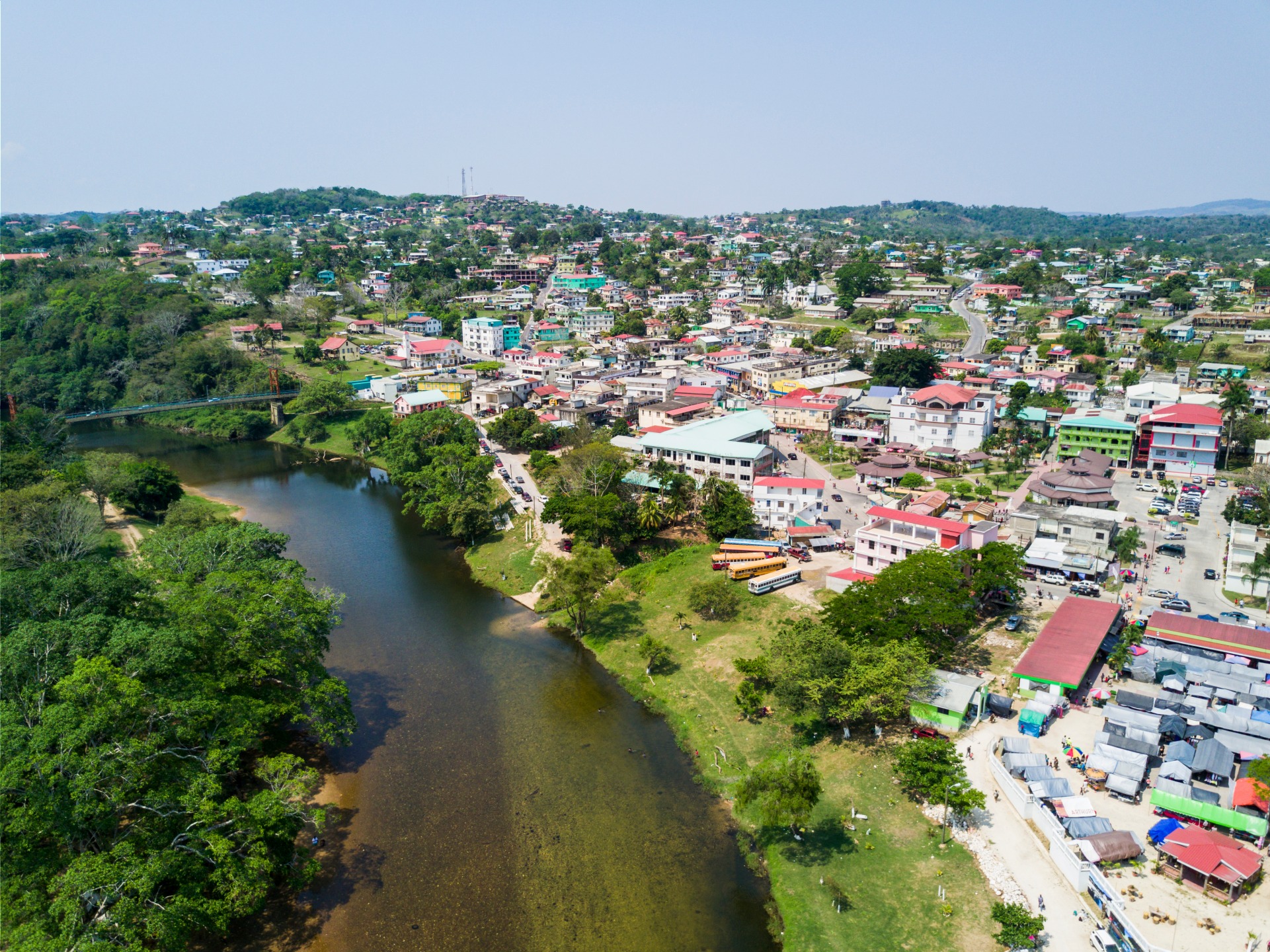
The main entry point is San Ignacio, in Cayo District, western Belize. The town is connected to Belmopan by the Western Highway. Most excursions into the Maya Mountains depart from San Ignacio or surrounding lodges. A 4×4 vehicle is often necessary to reach trailheads. Guided tours are strongly recommended, even mandatory for certain sites like ATM.
Nearby Attractions
- San Ignacio — departure town for most excursions, with markets, restaurants and local agencies.
- Cahal Pech — Maya site on the edge of San Ignacio, accessible on foot from the town center.
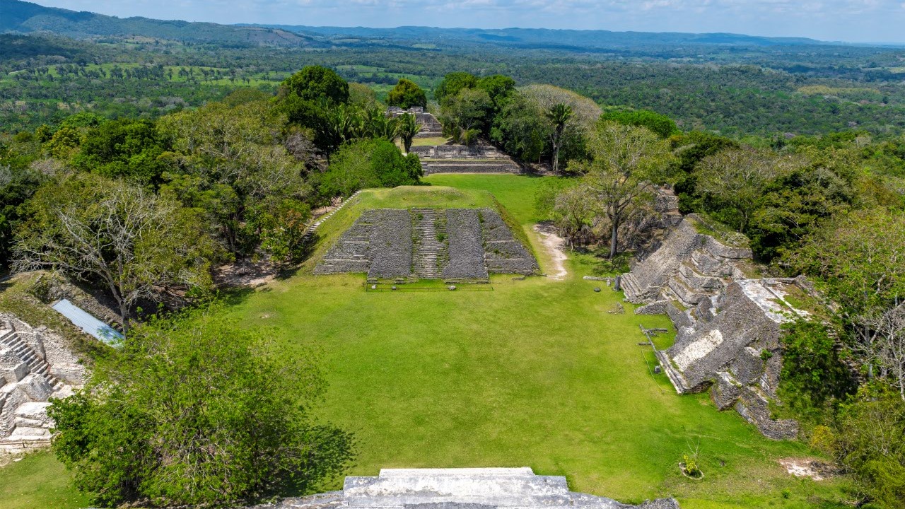
- Xunantunich — classical Maya city overlooking the Mopan valley, a few kilometers from San Ignacio.
- Caracol — Belize's largest Maya city, nestled in the heights of Chiquibul, accessible by excursion from Cayo.
- Mountain Pine Ridge — adjacent forest reserve, known for its waterfalls and granite rock formations.
Frequently asked questions
The dry season, from November to April, facilitates access to trails and caves. During rainy season, some roads become impassable and rivers can rise rapidly.
For most sensitive sites like ATM or Chiquibul, a certified guide is mandatory. Even for free-roaming hikes, a local guide is strongly advised due to the forest's density.
Yes. San Ignacio allows easy access to Xunantunich, Cahal Pech, Mountain Pine Ridge and Caracol. Plan several days to cover everything.
At Actun Tunichil Muknal, photography has been prohibited for several years to protect the remains. Check with your guide before bringing photo equipment.
A visit to ATM involves river walking, swimming and cave climbing — a reasonable fitness level is necessary. Forest hikes vary depending on the itineraries chosen.
Interested in this visit?
We can include it in your personalised itinerary.