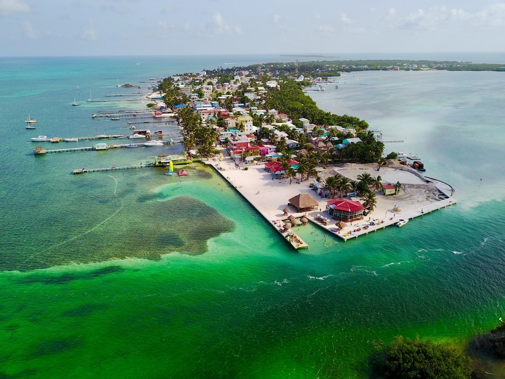
Belize River
The Belize River flows 290 km through jungle and villages, from the highlands of Cayo to the Caribbean Sea. Canoeing, wildlife and riverside Maya sites make it an essential exploration route through the country.
The Belize River flows west to east across the country for approximately 290 kilometers, from the highlands of Cayo to the Caribbean Sea near Belize City. A historic artery for Maya and colonial trade, it remains today a living waterway, fishing ground and exploration route for travelers seeking to venture beyond paved roads. Its banks concentrate jungle, ruins and Mennonite villages within a landscape of great diversity.
Quick facts at a glance
- Access: the Western Highway runs alongside the river from Belize City to Cayo district; local landing points allow canoe and motorboat rentals.
- Recommended duration: half a day for a canoe excursion; several days to paddle downriver independently.
- What to wear: lightweight and waterproof clothing, sun protection, closed-toe shoes for the banks.
- Season: river levels are most navigable in the dry season (November to April); during the rainy season, currents can be strong.
What to see
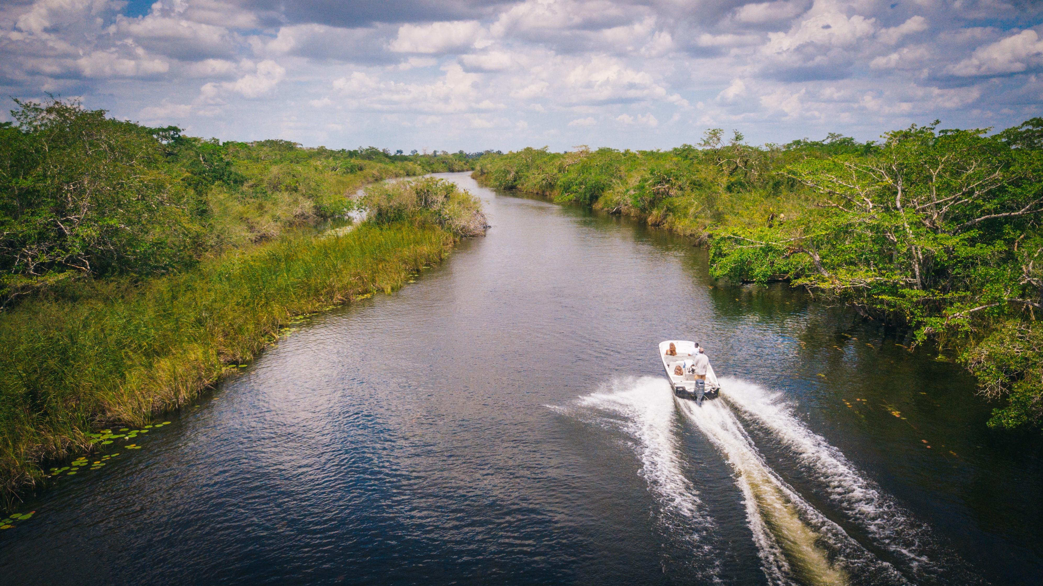
The river changes character depending on the section. In Cayo district, the banks are forested and moderate rapids invite paddling. Further downstream, the course widens and slows, passing through wetlands populated by ibis, herons and Morelet's crocodiles. Agricultural villages and Mennonite farms dot the banks.
History and context
The Belize River was the primary transport route for mahogany and logwood during the British colonial era. Before that, the Maya used it to connect their inland cities to the coasts. Several important archaeological sites — including Xunantunich and Cahal Pech — are located near its tributaries in Cayo.
Highlights of a visit
Canoeing from San Ignacio
The stretch between San Ignacio and Bullet Tree Falls is the most popular with paddlers. The current is manageable, vegetation is dense and bird sightings are frequent. Local operators offer canoe rentals and guided tours.
Wildlife watching
The river is home to Morelet's crocodile, a species endemic to the region. River otters, iguanas and a wide variety of aquatic birds are visible from the water, especially early morning or late afternoon.
Access to riverside Maya sites
Several Maya ruins are accessible from the banks or within short distance of the river. Combining paddling with an archaeological visit makes for a full and cohesive day in Cayo district.
Photography tips
Golden morning light is ideal on the water. Jungle reflections in the river are sharpest on calm days, before the wind picks up. Bring a waterproof case or dry bag: splashes from the canoe are inevitable.
Location and access
The river originates in the Maya Mountains and flows into the Caribbean Sea north of Belize City. The most practical starting point for an excursion is San Ignacio, the capital of Cayo district, accessible from Belize City via the Western Highway. Regular shuttles and buses connect the two cities.
Nearby attractions
- Xunantunich — Maya city overlooking the Mopan valley, just a few kilometers from San Ignacio.
- Cahal Pech — Maya archaeological site perched on a hilltop above San Ignacio.
- Caracol — the largest Maya city in Belize, accessible from Cayo district.
- Actun Tunichil Muknal — ceremonial Maya cave with in-situ remains, excursion from San Ignacio.
Frequently asked questions
The dry season, from November to April, offers stable water levels and moderate currents, ideal for canoeing. During the rainy season, the river can rise quickly and currents become more challenging to manage.
Yes, rental operators in San Ignacio offer canoes for independent paddling on marked sections. For wilder stretches or longer excursions, a local guide is recommended for safety and navigation.
Yes, Morelet's crocodile is present in the Belize River. It is generally shy and avoids humans, but it is advisable not to swim in unsupervised areas and to remain vigilant near the banks.
Absolutely. Cayo district concentrates several archaeological sites within short distance of the river. A day can combine a morning paddle and an afternoon visit to Xunantunich or Cahal Pech.
The Western Highway connects Belize City to San Ignacio in about two hours. Regular buses and shared shuttles serve this route daily. San Ignacio is the main access point for river activities.
Interested in this visit?
We can include it in your personalised itinerary.