Caracol Maya Ruins
Caracol Maya Ruins
Belize's largest Maya city, Caracol conceals palaces, stelae, and the Caana pyramid—the country's highest structure—deep within the Cayo jungle.
The archaeological site of Caracol is the largest Maya city discovered on Belize's territory. Located in the Cayo district, deep within tropical forest, it spans 177 km² and contains the country's tallest built structure. The name Caracol, meaning "shell" or "snail" in Spanish, likely evokes the abundance of mollusks at the site and the spiral road leading to it. For the Maya, the city was called Oxwitza (or Uxwitza), a reconstruction of the emblem glyph Ux Witz Ajaw, translated as "the place of Three Hills."
Why Visit Caracol
Caracol is not a mass-tourism site. Its remoteness, partly unpaved access road, and forest setting make it a demanding yet unforgettable visit. Here stand the remains of a capital that rivaled Tikal, over 100 km of paved causeways, palaces, ball courts, and a pyramid of 43 meters rising above the canopy. Visitor numbers remain modest: you'll often traverse the central plazas with few others around, in an environment where toucans and howler monkeys are more audible than tour groups.
History of the City
The region has been occupied since 1200 BCE, with more structured settlement around 650 BCE. The city of Caracol was officially founded in 331 by the ruler Te' K'ab Chaak. At its height, near the end of the first millennium, it may have housed over 100,000 inhabitants, making it one of the most populous Maya settlements in the lowlands. Its strategic position on trade routes linking the Caribbean to the southern lowlands earned it a long military rivalry with Tikal and Calakmul, marked by victories recorded on its stelae.
A Late Rediscovery
The site fell into obscurity for nearly a millennium before being found in 1937 by Rosa Mai, a woodcutter searching for mahogany timber in the jungle. He reported his observations to the archaeological commission of British Honduras (present-day Belize). Serious excavations didn't begin until the 1950s, and continue today: only a fraction of the structures have been cleared.
What to See on Site
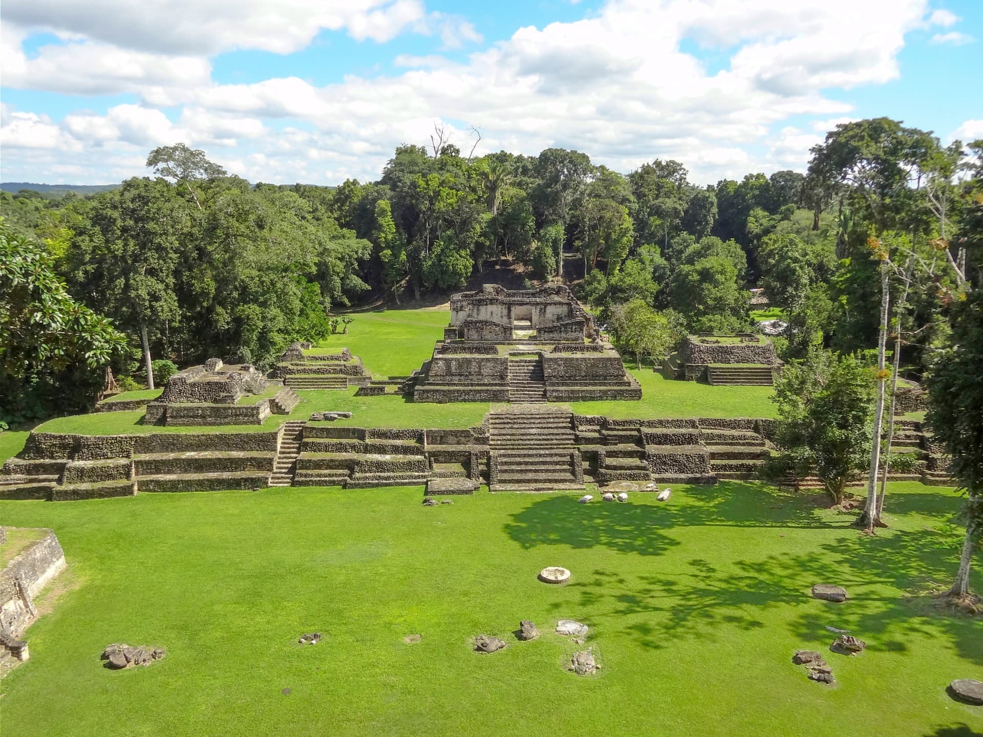
The site covers 177 km², making it Belize's largest archaeological zone. A typical visit focuses on the monumental core, where palaces, acropolises, tombs, aguadas (water sources), carved stelae, altars, and ball courts follow one another. Outside the center, several kilometers of sacbeob, those characteristic white stone pathways of the Maya world, connected the city to its outlying quarters.
Caana, the "Sky Palace"
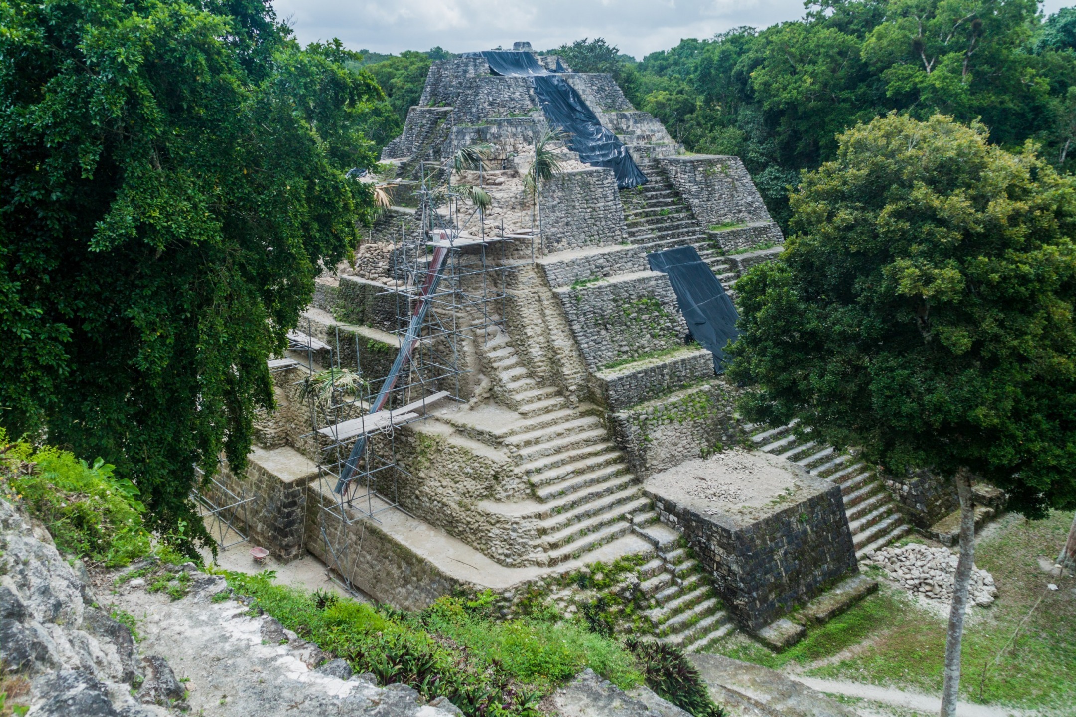
The Caana pyramid complex rises to 43.5 meters and remains to this day Belize's tallest artificial structure of any kind. At its summit, a courtyard holds three temples that command the canopy. The ascent via steep stairs offers an open view across the surrounding forest, sometimes extending to the Guatemalan foothills.
Fauna and Environment
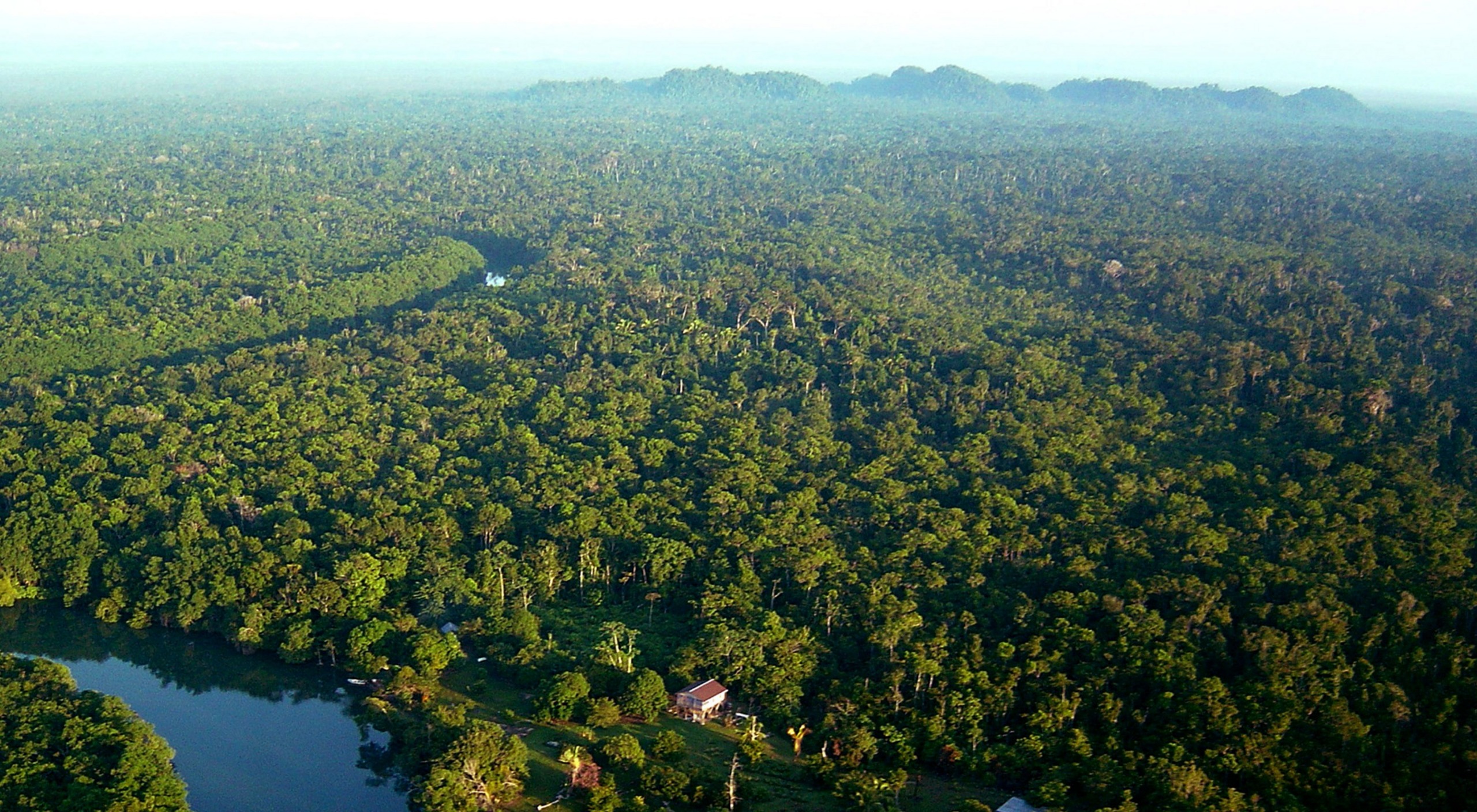
The site sits within a protected forest reserve. During your visit, you'll likely encounter coatis, agoutis, howler monkeys, and numerous tropical birds: toucans, parrots, motmots. Bring effective insect repellent.
Practical Information
- Duration: allow 2 to 3 hours on site to explore the core without rushing.
- Admission: moderate fee, payable in Belizean or US dollars.
- Hours: day visits, generally morning through late afternoon. Arriving before noon is advisable.
- Guide: highly recommended to understand stela iconography and historical context. Most visitors arrive via organized excursion from San Ignacio.
- Essentials: water, closed-toe shoes, long clothing, flashlight for covered passages.
When to Go
The dry season, February to May, is the most reliable period. The track leading to Caracol from Augustine crosses jungle and becomes difficult to navigate after heavy rains, particularly June through November. In wet season, some tour operators cancel departures when rivers swell. Early morning offers the best light and wildlife viewing.
How to Get There
Caracol lies roughly 40 km from Xunantunich, though the road journey is significantly longer due to the forest track. From Belize City, take the Western Highway to Belmopan, then continue west. At Georgeville, turn south toward the village of Augustine. On arrival, a free forest permit is issued at the reserve entrance. From there, expect about another hour of track before reaching the archaeological center. Most travelers depart San Ignacio in 4x4 with an escorted convoy.
Nearby Attractions
Cayo district concentrates several complementary sites, easily combined in a single trip:
- Big Rock Falls, a cascade in Mountain Pine Ridge where swimming is possible.
- The archaeological site of Yaxha, another major Maya city on the Guatemalan side, accessible as an excursion.
- The Agua Caliente Nature Reserve, to extend your exploration of Belizean nature.
- Belize's Coral Reef, a marine contrast to schedule for the latter part of your trip.
Frequently asked questions
To incorporate Caracol into a full itinerary blending jungle, Maya sites, and Caribbean coast, explore our custom trips to Belize.
Interested in this visit?
We can include it in your personalised itinerary.